



Oakland offered free sandbags and plastic sheeting ahead of this week’s rain. That helps at the doorstep, but what about the street you need to cross to get home? A property’s flood zone is a useful starting point. It tells you less about the low intersection or clogged drain between your front door and the rest of the city. Oakland’s Nov. 17 storm-prep notice
Start with your address. The National Flood Insurance Program’s flood-zone guide explains what the zones mean and links to FEMA’s address lookup. A lower-risk designation doesn’t rule out flooding. The guide notes that local drainage problems and ponding can occur where they aren’t mapped in detail. Check the addresses you rely on, not just your own: work, school or a relative’s home.
Then look at where the water goes. Oakland’s creek and watershed maps let you look up creeks, parcels and public jurisdictions. If a creek crosses the route you use every day, or you know that a particular corner tends to collect water, note a second way around before the rain starts. A mapped creek or storm drain tells you where infrastructure is. It can’t tell you whether a grate is blocked today or whether your route will be clear during a downpour.
A plan on paper is only a start. In September, Oakland’s Public Works and Transportation Committee received and filed a storm drainage update that discussed deferred maintenance and exploring a stormwater fee ballot measure. That action didn’t approve a fee or make a specific repair. For a block that floods repeatedly, a more useful question is whether the spot has been logged and assigned a project, and whether there’s a schedule for the work.
Before it rains again. Check the city’s storm-prep notice for sandbag locations and hours; supplies are limited. Sign up for AC Alert and save Oakland’s storm-drain reporting information. For flooding or a blocked drain on a public street, call OAK 311 or 510-615-5566 and give the nearest intersection. Check current notices before you travel, even if your home is outside a high-risk zone. The most useful first step is to look up both your address and the route you’ll need to use.
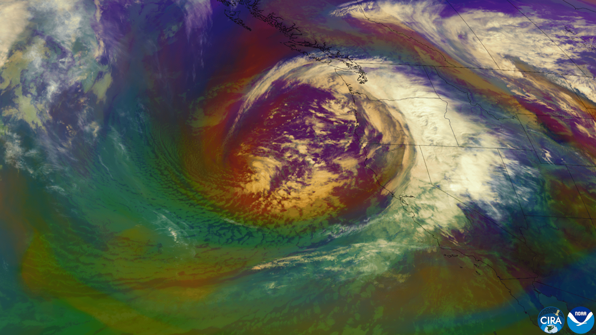
Featured image: GOES-18 satellite view of a Pacific storm system approaching the West Coast, released Nov. 18, 2026. CSU/CIRA and NOAA.